El Hierro Island Raised Relief 3D
El Hierro Island Raised Relief 3D
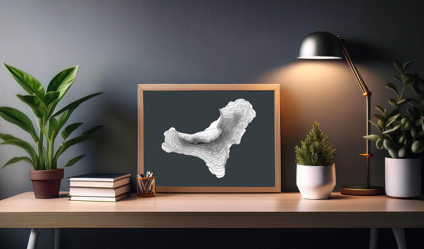
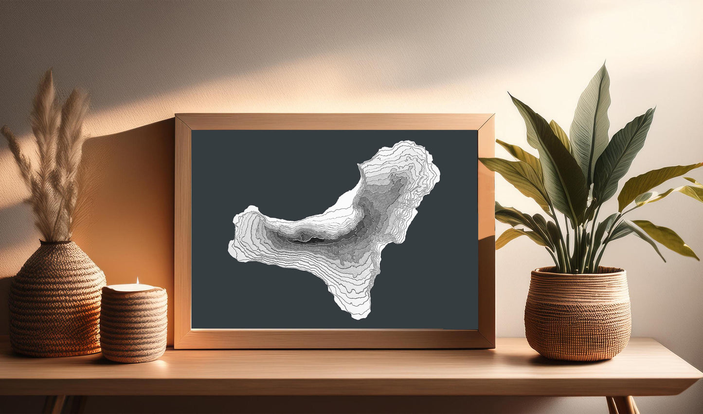
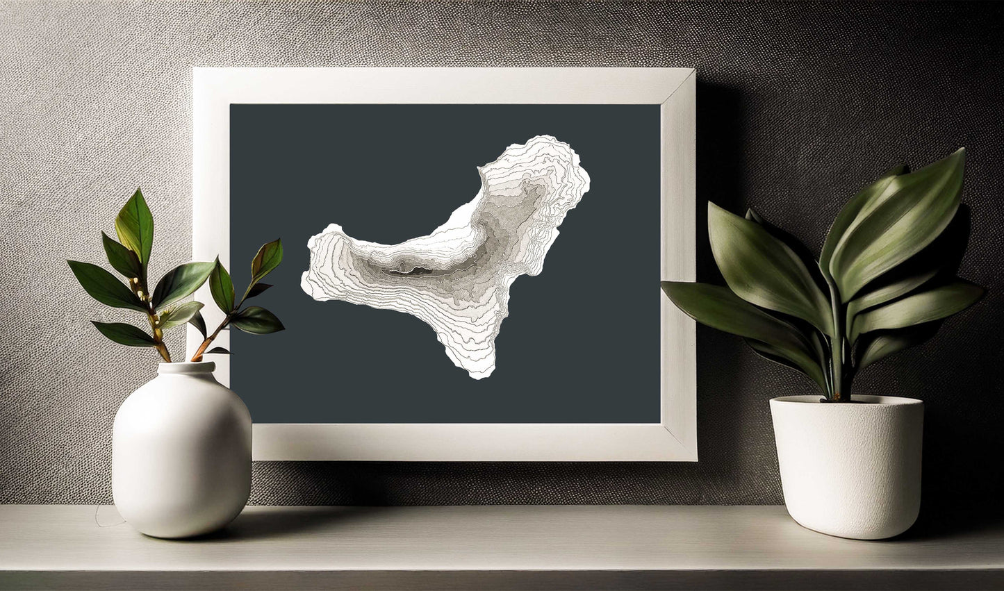
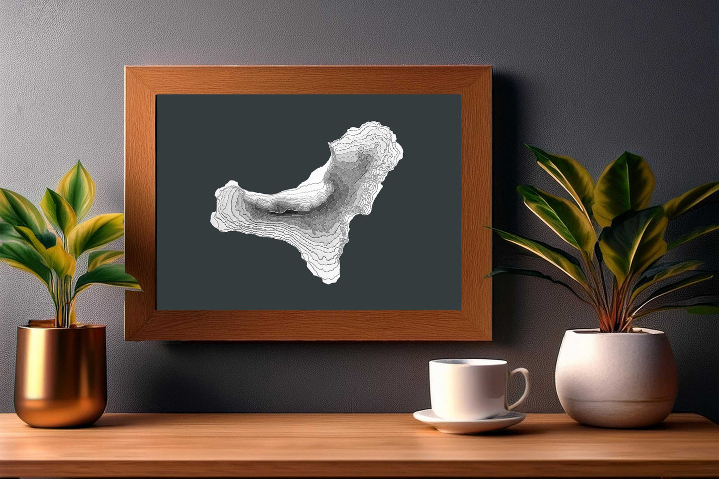
This 3D raised relief map of El Hierro island in the Canary Islands has been built using several layers of cardstock making it a unique and original wall art hanging where the textured elevation can be seen as well as touched.
Each layer represents a true elevation contour (i.e. a line of points with the same elevation above mean sea level) from real world digital elevation data.
As the elevation increases, the layer shows a correspondingly darker grey all the way to the top of the island in black. In this particular case, each layer represents a height jump of 100 meters beginning with the shoreline at zero meters above the sea. Each layer has been carefully laid and pasted by hand to recreate the fascinating volcanic terrain of the island of El Hierro.
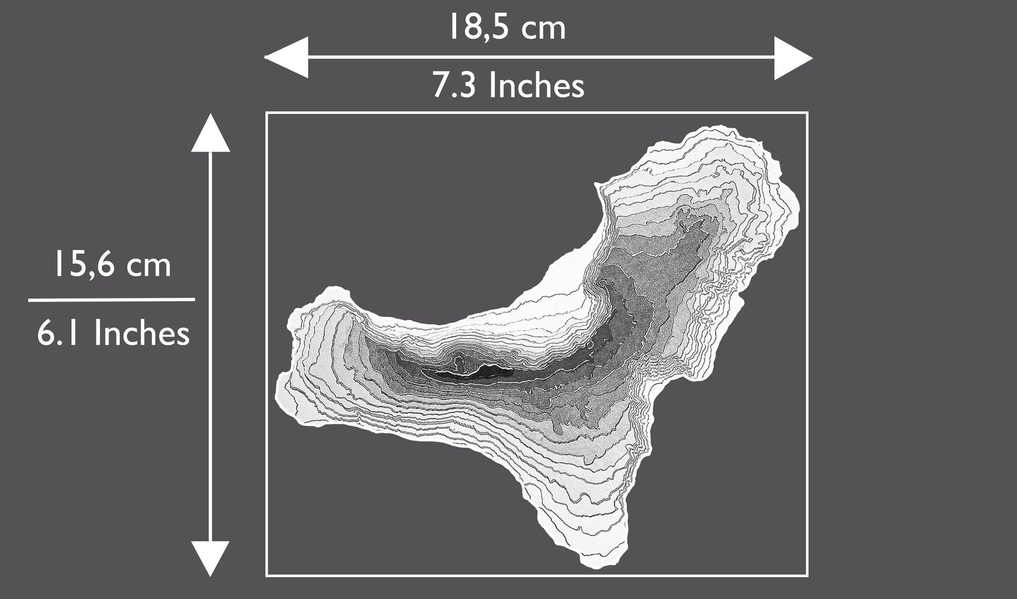
The island is pasted on an A4 sized (slightly taller and narrower than Letter Size) anthracite grey heavy cardstock sheet enabling you to mount the map in the frame of your choice.
THE 3D MAP OF EL HIERRO WILL MAKE A GREAT GIFT FOR:
💚 Anybody that has visited and / or loves the island of El Hierro.
💚 Anybody that loves maps.
💚 Your mountaineer friend / relative.
💚 Anybody that loves minimalist wall art and home decor.
💚 Anybody getting married in the island of El Hierro. Our maps will make a great gift as wedding favour for your guests. Each map can be personalized with your names and the date of the wedding.
💚 Yourself! This map will look stunning on your walls or atop a shelf in your home or office no matter your decoration style. This is the perfect souvenir to remember the great times you had on the island.
Materials Used
Materials Used
- Cardstock
- Glue
Share