Hawaii, Big Island, Raised Relief Map in 3D
Hawaii, Big Island, Raised Relief Map in 3D
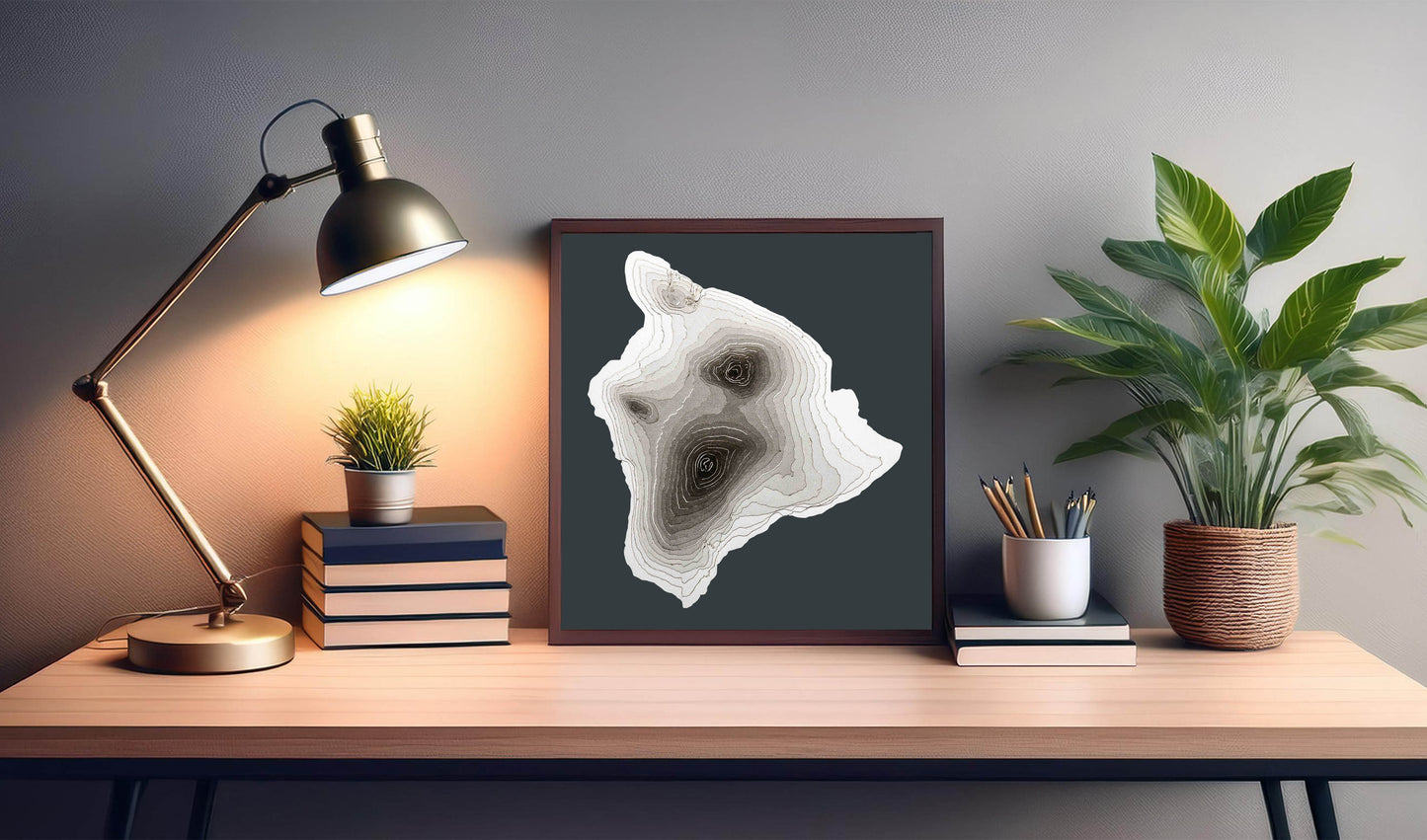
This relief map of Big Island, Hawaii, has been created by pasting layers of cardstock.
Each layer represents an elevation contour of 200 meters starting with the shoreline at zero meters above the sea and culminating with the island's highest point, the Mauna Kea volcano, also the highest mountain in the world if measured from the ocean floor, surpassing Mount Everest.
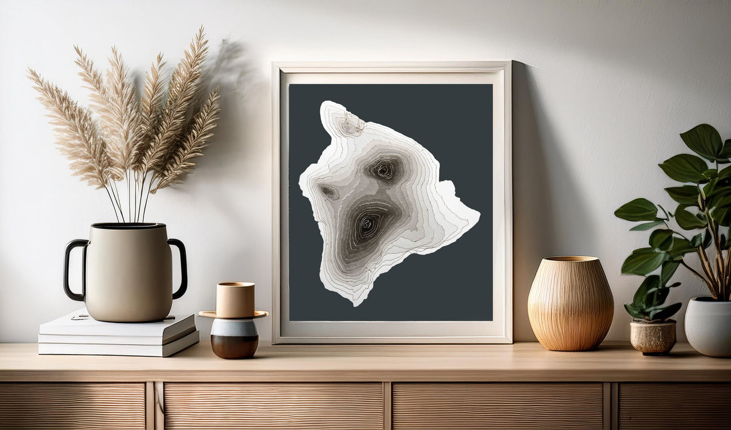
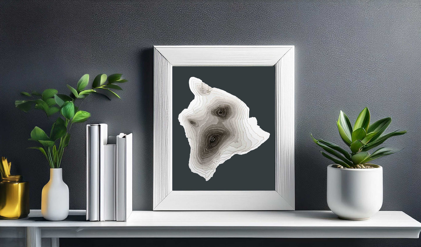
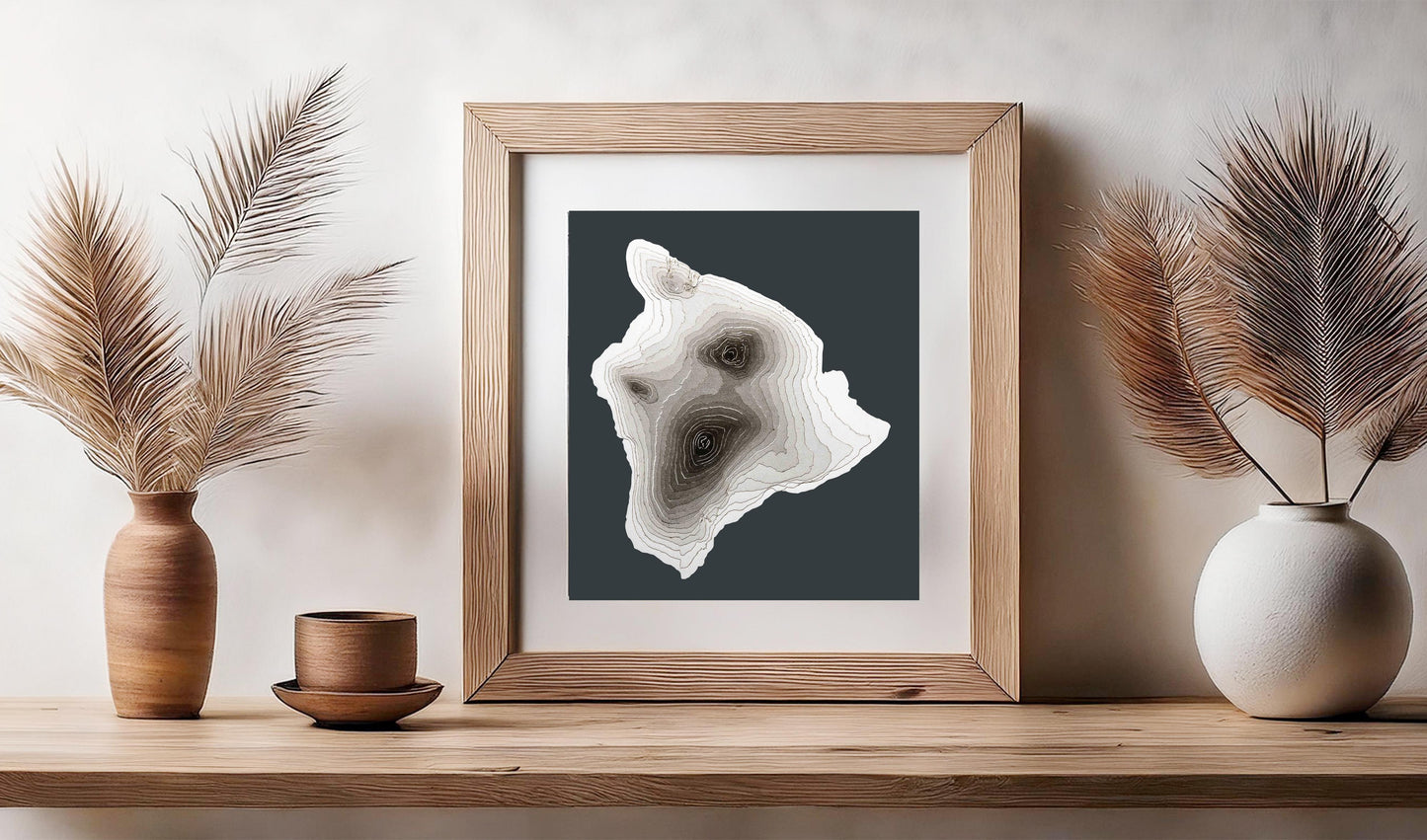
This 3D map of the Big Island, Hawaii, is sold unframed. Due to its shape, the map will look great both in a portrait oriented picture frame as well as in a square frame.
Built with several layers of cardstock, this map will make a unique wall hanging in your home or office. Each layer has been meticulously pasted by hand, one by one, to recreate the terrain and topography of Big Island, Hawaii.
As the elevation increases, the layer shows a correspondingly darker gray all the way to the top of the island in black.
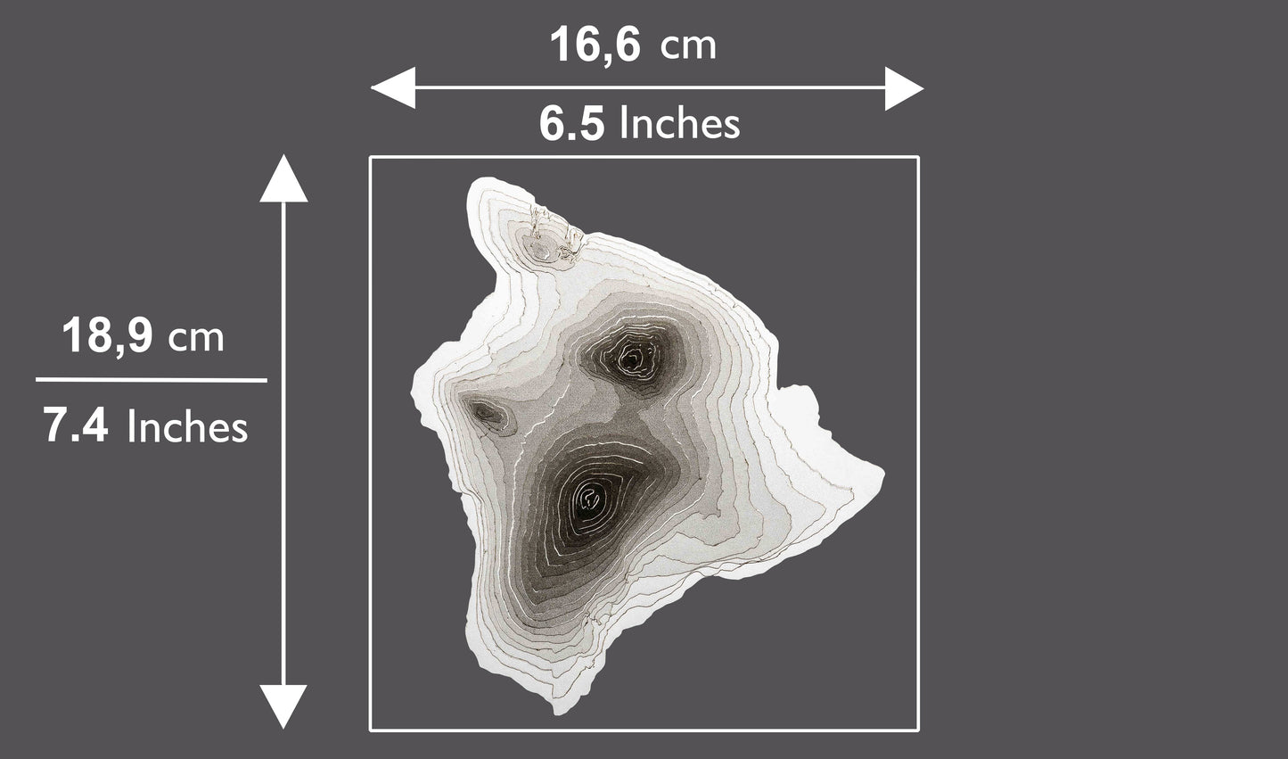
The map is mounted on an anthracite gray cardstock size A4 (slightly narrower and taller than Letter Size) and will suit any kind of home decor thanks to its minimalist grayscale color palette.
Please note that no frame is included and there is no text on the map.
THE 3D MAP OF BIG ISLAND, HAWAII WILL MAKE A GREAT GIFT FOR:
💚 Anybody who has been to and loves the island.
💚 Anybody who loves maps.
💚 A Mountaineer.
💚 Anybody that is into minimalist decor.
💚 Your wedding guests! Having a destination wedding? Our map of Big Island, Hawaii, will delight your friends and family. As well as serving as a lovely souvenir that will remind them of the great time had, they will also be bringing a nice piece of wall art home. Maps can be personalized with your names and date of celebration.
Materials Used
Materials Used
- Cardstock
- Glue
Share