Tenerife 3D Topographic Raised Relief Map
Tenerife 3D Topographic Raised Relief Map
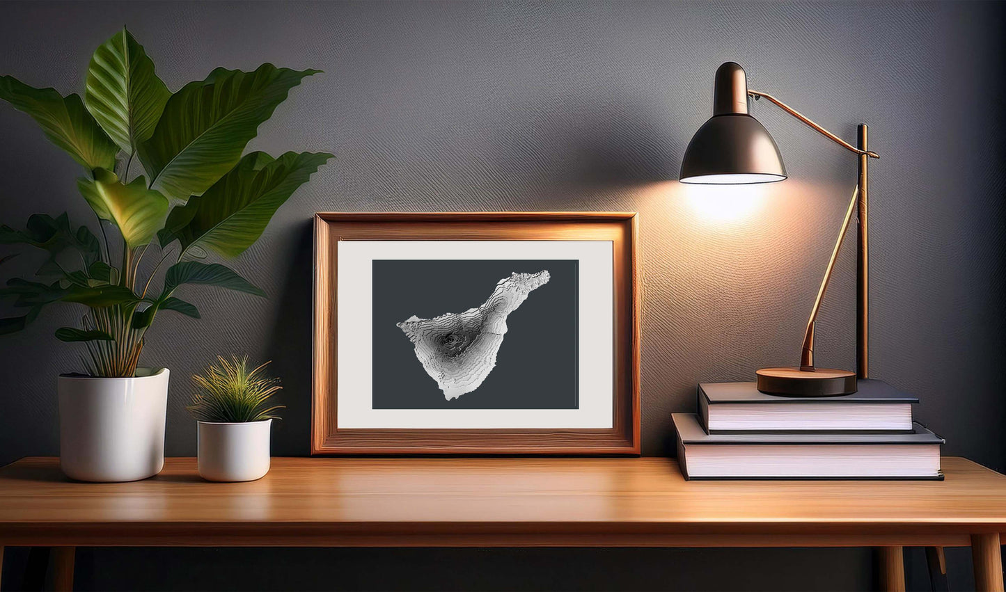
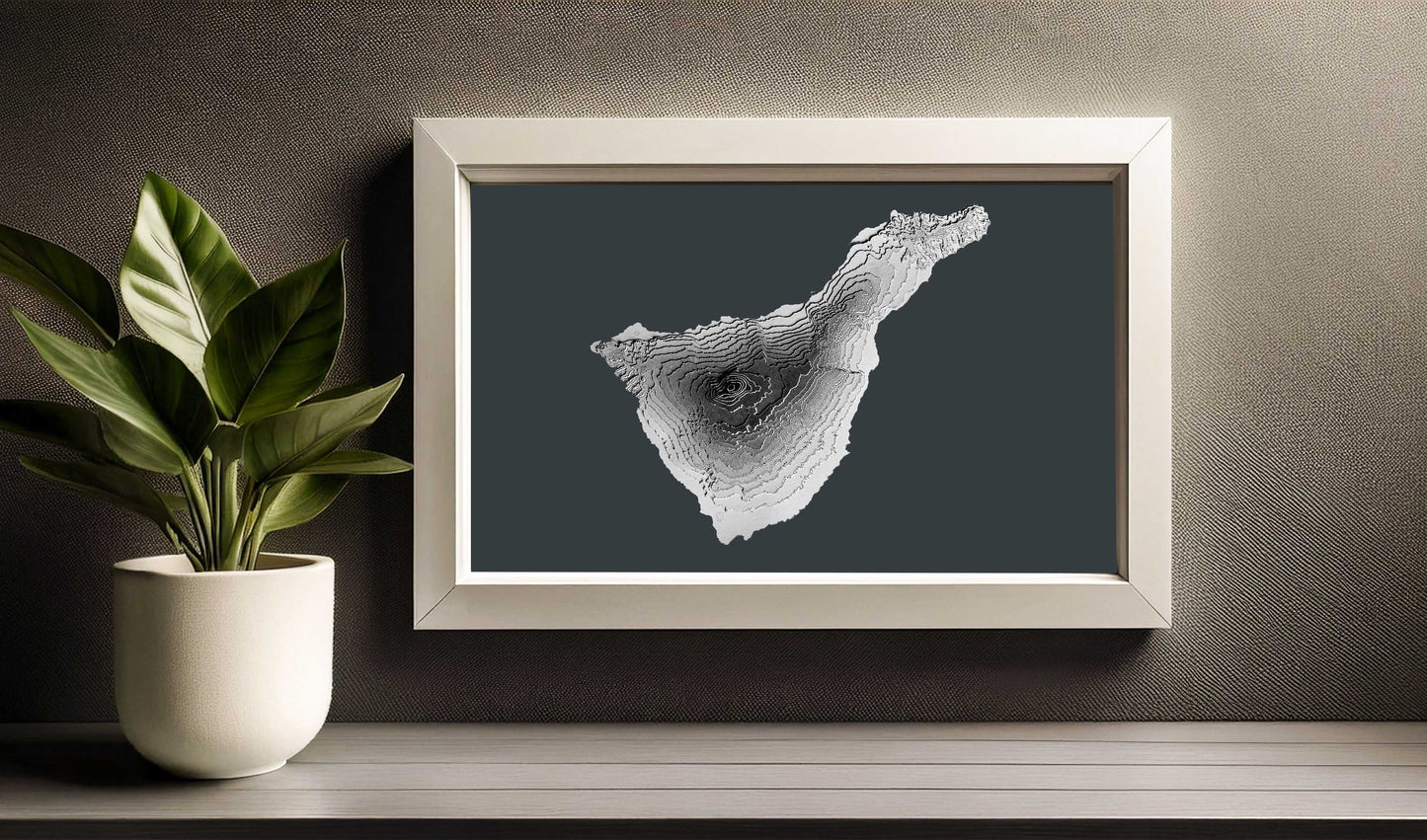
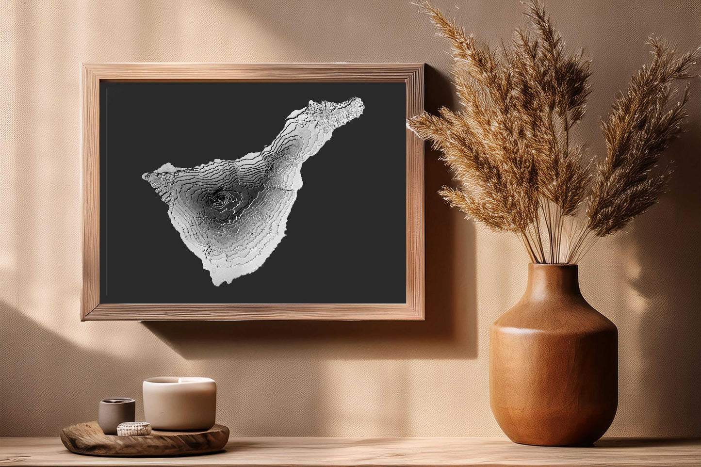
This is a 3D raised relief map of Tenerife island in the Canary Island Archipelago. The map has been built with several layers of cardstock to give it its unique 3D texture and elevation.
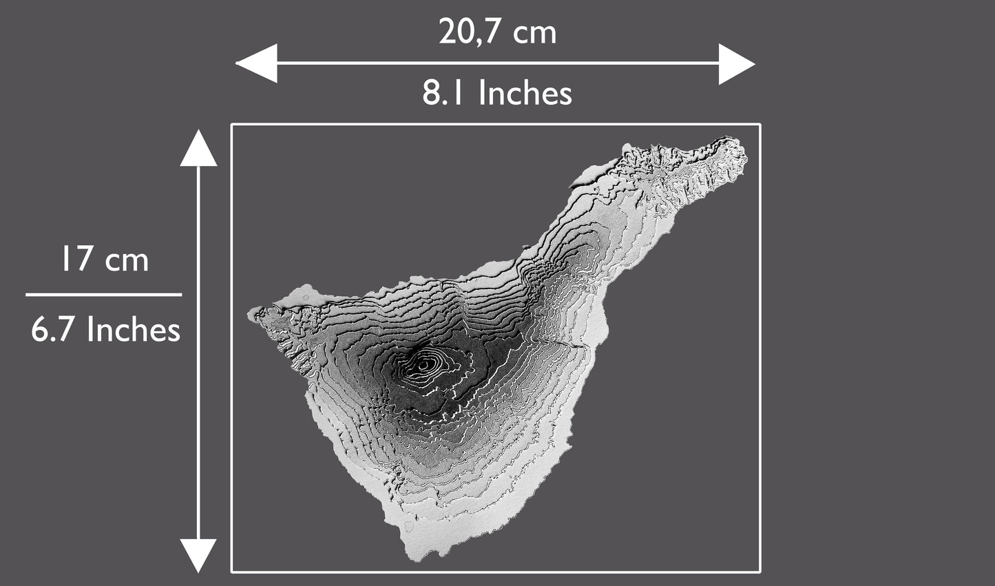
Each layer represents a true elevation contour, in the case of the map of Tenerife, a height jump of 200 meters beginning from the shoreline at zero meters above the sea and culminating with the island's highest peak, Mount Teide.
As the elevation increases, the layer shows a correspondingly darker grey all the way to the top of the island in black.
Each layer has been meticulously laid and glued by hand to recreate the interesting volcanic topography of Tenerife.
The map is pasted on an anthracite grey A4 sized (slightly taller and narrower than Letter Size) sheet of heavy cardstock making it easy for you to mount it in the frame of your choice.
Thanks to its minimalist design, this raised relief map will look great in any kind of interior home style decor and most styles of frames.
Please note that frames are not included and there is no text on the map.
THE 3D MAP OF TENERIFE WILL MAKE A GREAT GIFT FOR:
💚 Anybody that loves the island of Tenerife.
💚 Anybody that loves maps.
💚 Your Mountaineer Friend.
💚 Anybody that loves home decor and minimalist wall art.
💚 Your wedding guests! If you are getting married and have chosen Tenerife as wedding destination you can rest assure that your guests will love the map of the island and will remind them for a long time of the great time they had on your special day. The maps can be personalized with your names and dates of the wedding.
💚 For Yourself! If you have visited the island of Tenerife, this map will serve as a great reminder of your stay there!
Materials Used
Materials Used
- Cardstock
- Glue
Share